Geospatial analytics - charting a new path for hydroelectric power
Guest/partner contributor
Posted on: 12 June 2024
While managing hydroelectric networks is increasingly challenging| geospatial analytics is an efficient and cost-effective tool that can help| writes Sean Donegan of Satelytics.

While hydropower has a central role to play in the effort to combat climate change, energy companies are increasingly struggling to manage their hydroelectric networks. What they need is a comprehensive view of potential problems, writes Sean Donegan of Satelytics.
What they have instead is an imperfect patchwork, with problems often becoming evident only after they've spiraled out of control. These issues threaten not just individual energy companies but the health of surrounding communities and the clean energy project as a whole.
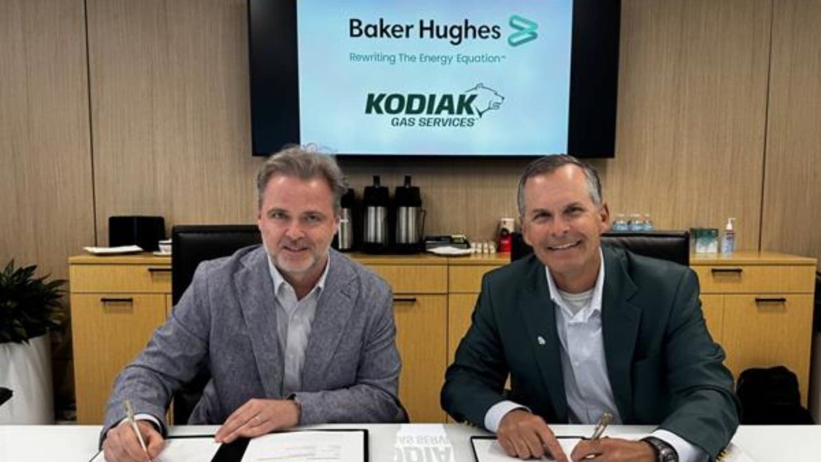
The question, then, is what are these companies to do? How can they get a more reliable, more consistent sense of potential points of concern within their networks? A recent collaboration between Georgia Power, the largest electric subsidiary of Southern Company, and their geospatial analytics vendor, a leader in automated cloud-based geospatial analytics, suggests some answers.
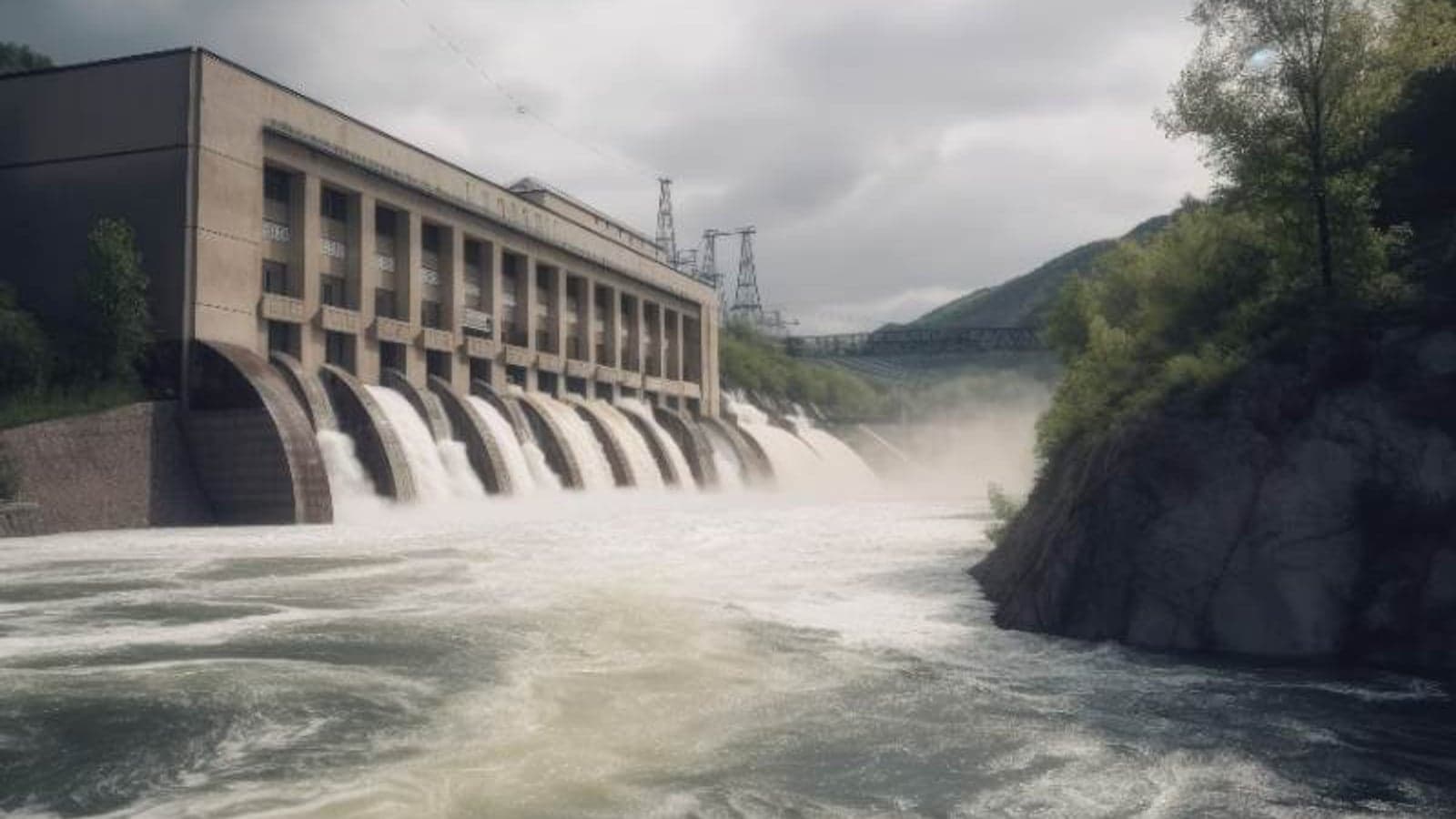
The operations Georgia Power is responsible for managing are vast: the company controls 16 hydroelectric dams across Georgia, which collectively deliver power to more than 2.6 million Georgia residents. This entails the monitoring of 59,000 surface acres of water bodies and 100,000 acres of surrounding properties.
Over the last year, they've worked closely with their geospatial analytics vendor to inaugurate a new paradigm in hydroelectric dam maintenance. These efforts have yielded excellent results—laying the blueprint for similar initiatives worldwide.
Have you read?
2 GW Loch Ness pumped storage hydro project proposed for Scotland
Seismic surveys under way for ‘Hollow Mountain’ pumped storage
What is geospatial analytics?
Geospatial analytics is an efficient and cost-effective tool that uses multispectral and hyperspectral imagery gathered from satellites, UAVs, planes, and fixed cameras and analysed to provide both alerts and qualitative results for energy organisations.
Because no other sensor platform can capture huge areas of interest as quickly, and transmit the resulting data instantaneously, satellites are normally the primary source of high-resolution data. Data can be gathered daily and results are sent to oil and gas organisations within hours, including the specific problem, location, magnitude, and even qualitative information, which minimises cost, impact, and operational disruption for our clients.
The key to identifying these small issues is utilising satellite imagery with the highest available resolution (30-centimeter to 3.7-meter spatial resolution compared to 25-meter to 30-meter spatial resolution — which is the current norm) to locate the exact source of the problem before dispatching skilled personnel to investigate and remediate within hours of notification.
Land disturbances, algae, and more: the challenges of maintaining hydroelectric dams
Before joining up with their vendor, Georgia Power's monitoring efforts were confined to ground-level, door-to-door scouting. Inspectors traveled from site to site, often by boat, attempting to manually identify problems for remediation.
The range of challenges at play here is staggering. Beyond the sheer size of the terrain, there are the ever-present land disturbance threats, which spring up at an alarming rate. Often, private landowners are unaware that special permitting is required for their projects, leading to unrestrained construction that threatens the integrity of surrounding dams.
But the problems go even deeper—beyond what any team of field agents could be expected to identify on its own. Reservoirs are increasingly choked with soil, pollutants, and other unwanted debris. Algae and invasive species proliferate in lakes set aside as sources of drinking water.
Hydrilla, in particular, is an intractable problem, harming water quality and other plant life. In worst-case scenarios, hydrilla can grow to the point that it chokes off flow into dams and causes massive damage to the hydroelectric stream.
Before geospatial analytics, these problems would often come to Georgia Power's attention only after something had already gone wrong. What was needed was a way to pinpoint these problem points early so that remediation efforts could be undertaken as quickly as possible—and with a minimum of damage to the larger system.
Geospatial analytics point the way forward
After partnering with Georgia Power, the geospatial analytics vendor began scheduling quarterly image acquisitions from Airbus' 50cm resolution Pléiades 1A/1B satellite.
These ultra-detailed images were then analysed using the vendor’s suite of proprietary change-detection algorithms, which can instantly flag land disturbances, vegetative clearing, and signs of construction on land or at the shoreline itself. Crucially, these algorithms were also able to detect aquatic plant growth in the water, at depths unattainable with conventional monitoring technology—upwards of two feet in many cases.
Distilled into easily digestible data visualisations, these insights overhauled Georgia Power's remediation efforts. Instead of having to scout for potential problems—a time-consuming process—field teams could now be sent directly to the most problematic areas for remediation efforts. The needle-in-a-haystack scouting that had characterised the old approach was jettisoned in favour of the many benefits geospatial analytics has to offer.
The regularity with which these satellite images are captured and analysed, and the speed with which results are delivered, have had a major impact on Georgia Power's operations. In the short period since the partnership began, the number of detected non-compliance issues has surged, with the geospatial analytics tools granting Georgia Power a clear view into areas of its operations it once struggled to get a handle on.

Other departments within the utility are now contemplating the adoption of this technology for other monitoring applications.
These initiatives matter enormously for Georgia Power, for whom every unaddressed problem represents a potential crisis down the line. It matters for their business, and it matters for the people of Georgia who suffer from the negative consequences of power outages.
We also, of course, need to do everything in our power to ensure the diffusion of hydroelectric power, which is key to a clean energy future. Georgia Power is modeling a new way forward for the industry by demonstrating the role that cutting-edge geospatial analytics can play in safeguarding the health of hydroelectric power networks and their surrounding communities. Instead of wasting energy trying to find the problems, they are dedicting themselves to fixing them.
About the author
Sean Donegan is the president and CEO of Satelytics. He brings over thirty years of technology and software development experience to the company.